The River Under the Pavement: Walking the Fleet from Hampstead to Blackfriars
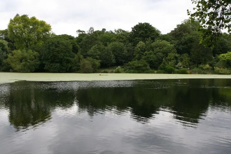
Photo: eisenbergalex, CC BY 2.0, via Wikimedia Commons
London is good at hiding its rivers in plain sight. The Fleet is the most rewarding of the buried lot: a stream that begins in the ponds and springs of Hampstead Heath, slips under roads, disappears into sewers and empties into the Thames near Blackfriars Bridge. Walking it is less a riverside ramble than a detective story told in street names, kerb levels, pub cellars and the occasional plaque. Allow four to five hours for the full route, around seven and a half miles, and wear shoes you can stand in for a while. This is a city walk, not a country one.
Start at Whitestone Pond, not at a river
Begin at Whitestone Pond on the edge of Hampstead Heath, the highest point in London and a usefully odd place to start a river walk. The Fleet's Hampstead branch is usually traced to the springs and ponds around the Heath, though you will not find a neat signed source. Look for the lie of the land instead: the pond, the run-off, the roads that drop south. Walk down through Hampstead village and aim for Fleet Road, near the Royal Free Hospital. The name is your first proper clue. There is no river to see, but the road follows the old valley closely enough to make you feel clever.
The Hampstead branch: drains, cambers and a lost stream
From Fleet Road, head south towards Mansfield Road and then Kentish Town. This is the least scenic stretch and the most instructive. The Fleet is now a sewer, and the evidence is municipal: drain covers, low kerbs, the way water collects at a corner. On a wet day the pavements seem to remember the river before the sewers do. Stop for coffee in Kentish Town rather than pretending this is a beauty parade. The point is the hunt, not the view.
Camden and King's Cross: where the river becomes infrastructure
Drop down through Camden towards King's Cross. The old river ran through this valley, and the streets have been built over it with the confidence of a city that would rather forget. Look for Bagnigge Wells Road off King's Cross Road. Bagnigge Wells was a spa built around the Fleet's mineral springs in the 18th century; now it is a road name and a faint whiff of Georgian leisure. Nearby Spa Fields is another echo. The river is not gone, exactly. It is in the basement of the city's plumbing.
Clerkenwell to Farringdon: mills, wells and road names
Continue south on King's Cross Road, then join Farringdon Road. This is the Fleet's grandest buried stretch. Turnmill Street remembers the mills that once used the water; Farringdon Road was driven through the valley in the 19th century and now carries traffic over the same line. Clerkenwell's own well is a different story, but the area is thick with water history, and the pubs are useful for pacing. The Coach and Horses on Ray Street is a good pause; the Gunmakers is another. Neither has a river view, which is the joke.
Fleet Street and the last mile to Blackfriars
At Ludgate Circus, the river is close but coy. Fleet Street takes its name from the Fleet, even though the water ran just to the west of the street rather than under it. Walk down towards Blackfriars Bridge and look for the point where the city meets the Thames. At low tide you may see the sewer outfall on the north bank near Blackfriars Bridge: a concrete mouth, not a romantic spring. It is the Fleet's real ending. Finish at the Black Friar pub, an Art Nouveau room that feels like a reward for all that municipal detective work.
Route at a glance
Start: Whitestone Pond, Hampstead Heath. Finish: Blackfriars Bridge. Distance: about seven and a half miles. Time: four to five hours with stops. Best for: a dry, bright day when you don't mind busy roads. Bring: a phone map, a waterproof, and low expectations of actual water. If you only have an afternoon, start at King's Cross and do the Clerkenwell-to-Blackfriars half. The Fleet walk is not a hike. It is a way of looking at London as a layer cake, with a river under the filling.